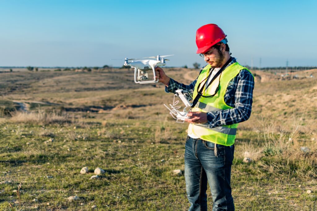
Unmanned Precision has a wide range of mission capabilities for the mining industry including high value sensor analysis, magnetometer terrain following surveys, LiDAR mapping and surveying, mine site surveillance, geophysical mapping and a variety of other airborne solutions that may be requested by the client.
If our current platforms cannot carry out a mission, we can design, develop and implement a platform solution specifically for the task – on time, and within budget. Our R&D; team is committed to meeting the challenge of even the most demanding jobs.
Mapping
Unmanned Precision is able to perform high value and long range 3D mapping using high resolution sensors and state-of-the-art 3D stitching software, allowing our clients to assess and plan remotely. We can produce 3D maps for commercial or private interests in a variety of industries including Agriculture and Heavy Industries.
Our specification flexibility allows maps to be produced as ultra high resolution or cost effective low resolution depending on the individual client requirements.
Asset Inspection
Unmanned Precision can remotely inspect high value assets and structures using a range of advanced sensors allowing our clients to inspect and assess in the most cost-effective manner. From photography, to thermal imaging, unmanned precision can carry out inspection requirements efficiently using our reliable ultra-long-range hybrid platforms.
Unmanned Precision can carry a large variety of payloads to suit any industry’s inspection needs and we continue to partner with industry leaders in advanced sensor payloads.
Parks and Wildlife
Immense spaces and vast wilderness represent enormous challenges when aerial inspection is required. Most airborne platforms that are used to carry out bushfire/wildfire assistance are manned and costly. Unmanned Precision can conduct long range aerial inspection of active bushfires/wildfires, spot fires and conduct fire damage assessments.
Natural wilderness also needs constant monitoring from waterway and dam inspections through to wildlife tracking and anti-poaching activities. Unmanned Precision can be an important high value airborne asset for any project.
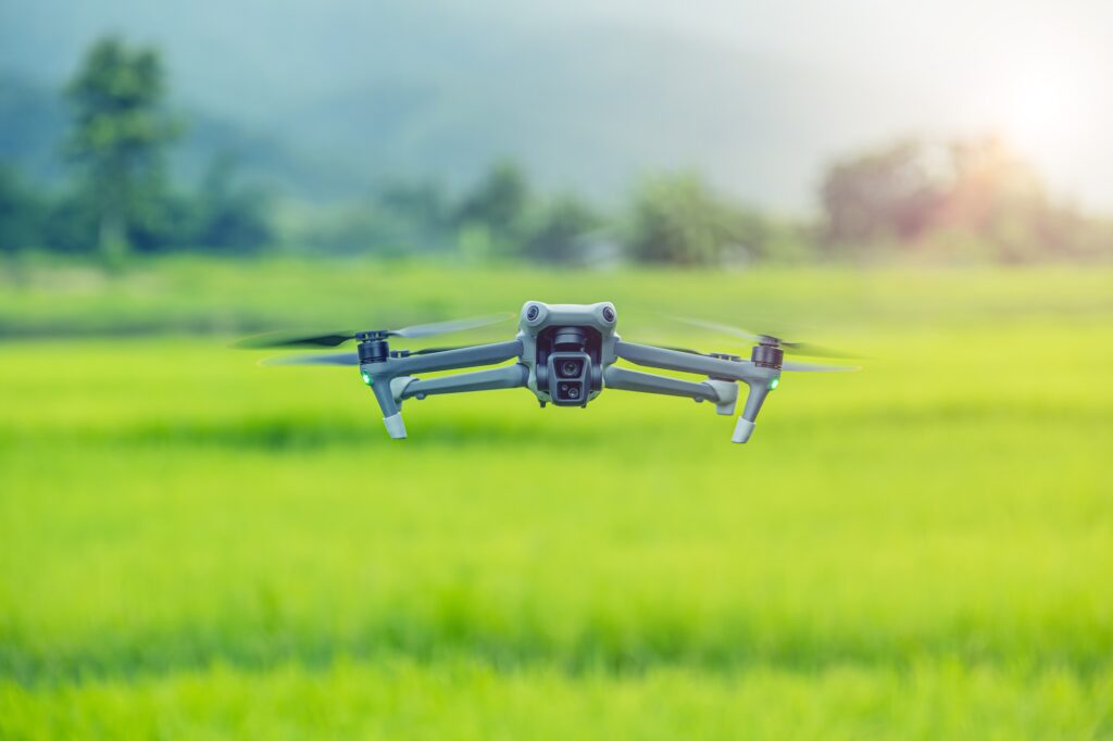
Agriculture
Technology is increasingly driving efficiencies in the agriculture and farming industries. Data collection on a range of areas from crop health to surrounding infrastructure can greatly increase a client’s productivity through the efficient use of agricultural resources and timely maintenance.
Hyperspectral imaging use in conjunction with the help of contracted Agronomists can drive greater crop health through the selective application of resources where required. This allows a more ecologically friendly and cost effective exacting use of available farming resources.
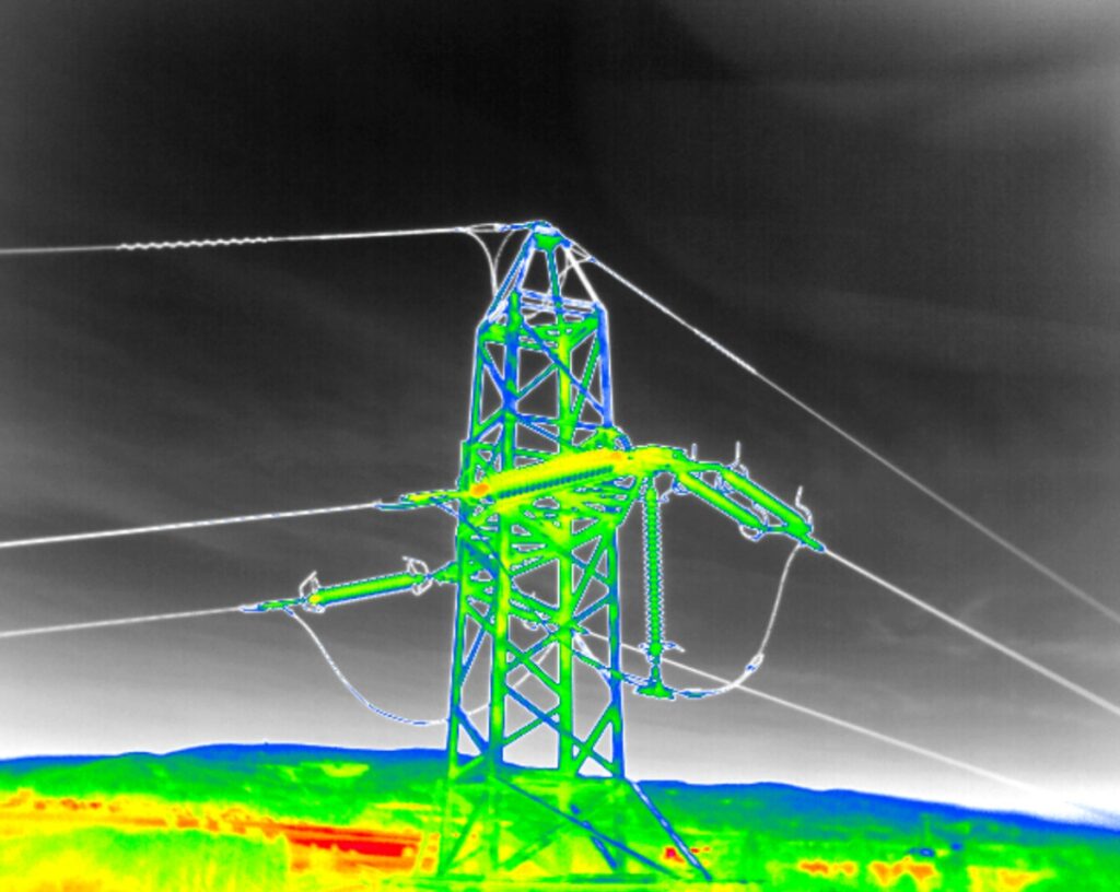
Powerlines
Thermal Imaging cameras or thermology, can help identify problem areas in high voltage power lines. Through identification of high heat areas, the client is then able to selectively task maintenance well ahead of time minimizing manual inspection needs.
Unmanned Precision has ultra-long-range hybrid platforms capable of scanning and assessing large distances of powerlines in one mission, offering highly cost-effective alternatives to manned helicopters and individual tower inspection.
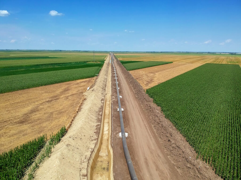
Pipelines
Unmanned Precision can scan and record large distances of pipeline for remote post-flight analysis. We can inspect high value pipeline asset projects from the planning phase, to construction, all the way through to routine maintenance, offering an end-to-end remote inspection solution.
Different pipelines require different inspection systems. Unmanned Precision can use the most effective combination of underslung payloads to ensure high value pipeline assets are monitored and within required specifications.
Development
Unique problems require bespoke solutions. We can assist with the development and design of solutions to meet the specific needs of any aerial project, including regular training of staff, development of safety and procedures, and routine platform maintenance.
We have experience assisting clients in the development of a range of applications from high-endurance maritime surveillance systems to minor modifications of existing platforms for mission adaptability.
View our Development page for more information on how we can assist with any R&D.;
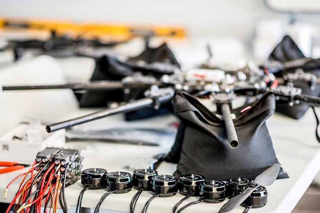
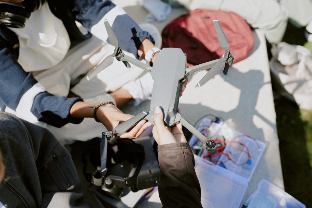
Maintenance & Assembly
Unmanned Precision has a heavy maintenance facility in South East Queensland which can perform maintenance on a wide range of custom and commercially available platforms.
Sometimes commercially available platforms arrive unassembled and without any post-assembly flight testing or product support. Unmanned Performance can offer assembly, testing and support of commercially available systems as well as unique and prototype in-house designs.
See our Maintenance page for more information.
Consulting
Unmanned Performance has access to a wide range of unmanned and manned aviation experts with a wealth of experience.
We can consult for a variety of applications. Using our depth of high-level commercial aviation experience we can guide clients wanting to develop their own in-house procedures and systems to meet or exceed all regulatory requirements.
We interact daily with experts in the unmanned sphere, ranging from coding and tuning specialists through to custom carbon fibre moulding and sub-sea experts.
Whether it is the development of procedural manuals, post flight/incident logging analysis, or regulatory requirements, Unmanned Performance can consult to meet your individual needs.
What We Do
Geophysical Surveying
We conduct advanced aerial geophysical surveys using drone-slung sensors to collect high-resolution subsurface data. This approach enables safe, efficient exploration in challenging terrain while delivering precise insights for industries such as mining, infrastructure, and environmental research.
Surveying & Mapping
We provide high-precision aerial data for topographic surveys, environmental analysis, and construction planning. Our UAV platforms deliver accurate, scalable mapping solutions faster and more cost-effectively than traditional methods.
Asset Inspection
Detailed visual and thermal inspections of assets such as towers, pipelines, and solar arrays—captured without interrupting operations. Our drone-based approach enhances safety, reduces downtime, and improves inspection reach.
Platform Development
We design, assemble, and maintain custom UAV platforms tailored to unique operational needs. Whether integrating specialized sensors or modifying airframes, we build systems that meet field demands.
Consulting & R&D
We support organizations with expert consulting, feasibility assessments, and research-driven development of UAV-based solutions. From prototype testing to real-world deployment, we help turn complex requirements into working systems.
Secure. Precise. Tailored to Your Mission.
Partner with Unmanned Precision for safe and reliable data acquisition—whether by air, land, or sea. Our advanced UAV platforms are built to reach the most remote locations and deliver mission-specific results.